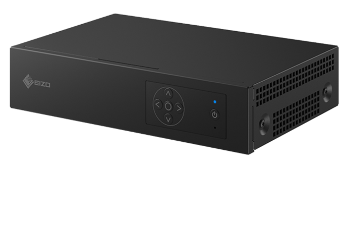
Founded in 2014, FullDepth develops and manufactures drones for underwater surveying and inspection for everyday operation. With the DiveUnit300 at the core, the company’s underwater drones are used in a wide range of fields, including infrastructure inspection of dams, ports, offshore wind farms, and fishing reefs. They can be operated at low cost without the need for large equipment or personnel, which have proven to be a major challenge in the field of underwater exploration. FullDepth installed EIZO’s DuraVision EVS1VX image optimization system for enhancing images captured by the drones. We spoke to Mr. Funatsu, manager of the sales department, about how the EVS1VX is being used in their underwater drone imaging system.
DuraVision case study: FullDepth
Enhanced underwater images thanks to image optimisation system EVS1VX
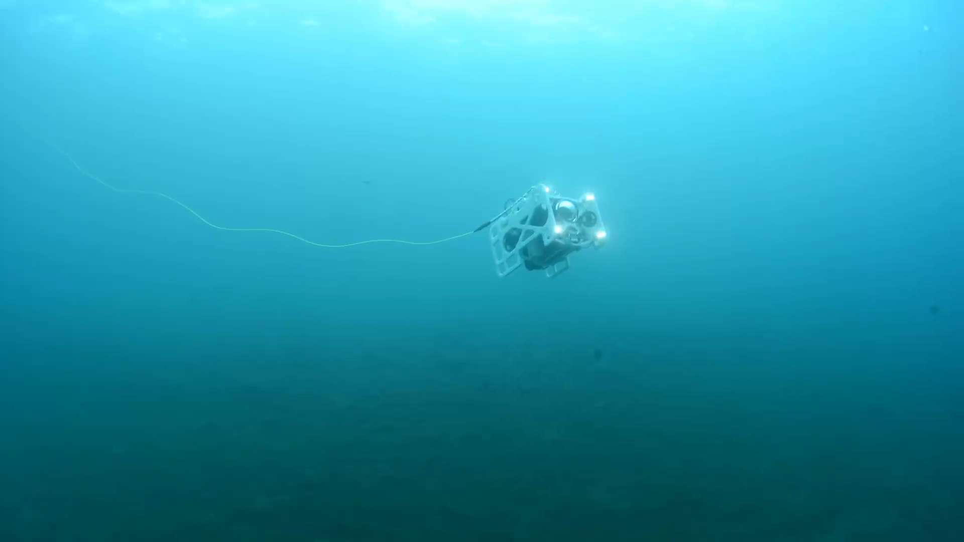
FullDepth’s underwater drone: DiveUnit300
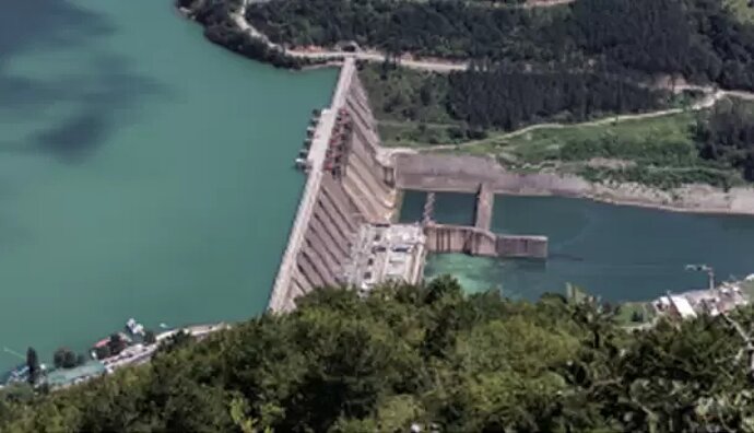
Dams
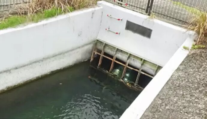
Pipelines
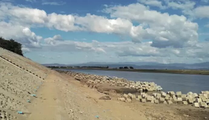
Waterways
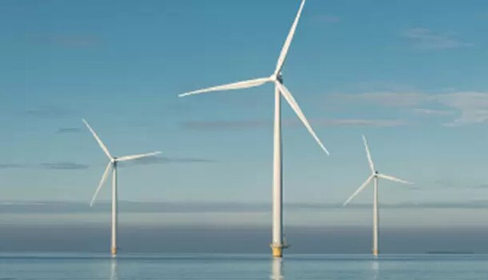
Offshore wind farms
Tell us about your company’s underwater drones.
Our industrial underwater drone, the DiveUnit300, is Japan’s first underwater drone. It is equipped with a hovering function, a Full HD camera, and is capable of a maximum dive depth of 300 meters. Weighing approximately 28 kg, it is small enough to be operated by two adults. Its greatest feature is the 3.7 mm-thin cable that transmits video signals. The strength of the coated cable protecting the optical fiber is strong enough to withstand a weight of 136 kg. In addition, the PC and LTE unit are housed in a dedicated carrying case, allowing for real-time online video distribution. This makes it possible to check video at a remote location.
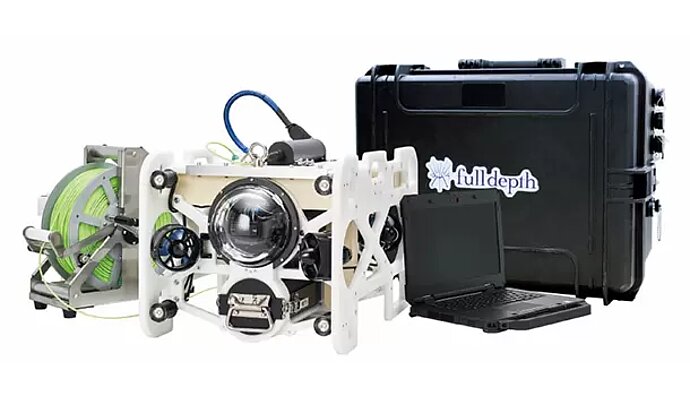
DiveUnit300
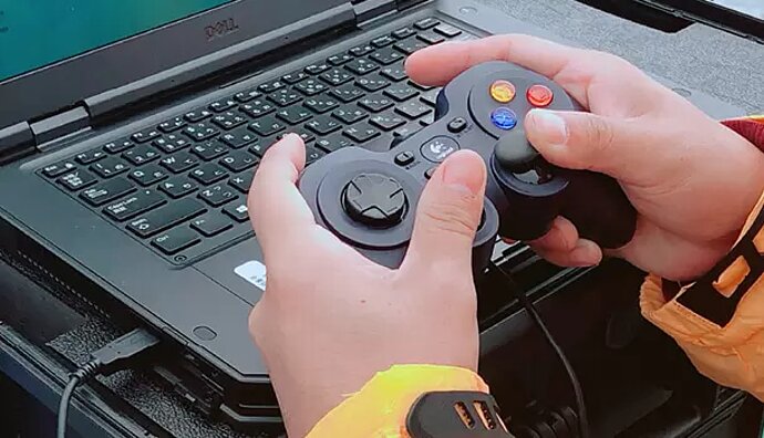
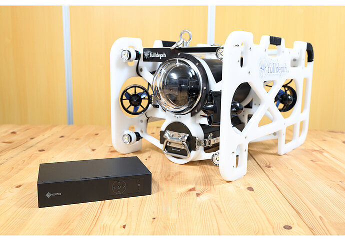
DuraVision EVS1VX and underwater drone DiveUnit300
How is the EVS1VX used?
Images captured by the underwater drone camera are converted to HDMI signals and input to the EVS1VX where they are processed to improve visibility and output via HDMI to a high-brightness monitor for review. Underwater images with poor visibility can be sharpened in real time, allowing the operator to inspect in detail. Underwater turbidity can be mitigated, and images can be checked with appropriate contrast, making it easier to find problem areas for repair in infrastructure facilities, such as pipe tunnels and dam surface structures.
What are the reasons you chose the EVS1VX image optimization system and what are the advantages?
The primary reason we selected the EVS1VX was that it was not only smaller and lighter than other companies’ products, but the quality of the build was better and hardware more reliable. Additionally, the wiring is simple, which makes maintenance easy and helps us a great deal in the long run. EIZO also provides a utility software called EVS Image Optimization Utility which allows detailed image adjustment according to our needs – haze, dark areas, colour, and high-ISO noise can all be corrected, and fine cracks made more distinguishable. Each parameter can be fine-tuned according to how low the visibility is in varying water quality conditions. The system leaves a positive impression during demonstrations to our customers because it enables sharpening of the image in the desired area in real time.
Fine-tuning images captured by the underwater drone using the EVS Image Optimization Utility software. Timestamp 0:00 – 0:26 depicts the inspection of water intake tower. Timestamp 0:27 – 1:04 depicts the inspection of a pipeline. Area indicated with a red frame is the resulting image when parameters are adjusted.
For infrastructure facilities in rivers and oceans, divers usually need to take photographs and, in some cases, remove water, which requires many days of work and resources. Underwater drones provide an alternative with safe and efficient inspections. Turbidity varies from one environment to the next, depending on where the images are captured. Turbidity is an optical characteristic of water and measured according to its relative clarity influenced by how much kaolin material, a type of clay, is mixed in with the water. This causes water to appear anywhere from whitish to brown in colour. By using the EVS1VX to improve visibility of the images, inspection points can be clearly checked, and problem areas can be detected early for quick response.
Do you have any additional comments for EIZO?
The turbidity of rivers in Japan is very high, and in many cases, inspections are extremely difficult even when filming with an underwater drone. In an environment with high turbidity, it is possible to check captured images with a visible light camera if the object is up close at 1 to 2 cm distance. But it is difficult to check images captured with a wide-angle lens camera. For such cases, we look forward to EIZO’s continued technological advances to help us respond in such situations by improving sharpness of captured images without needing to use an infrared camera.

About FullDepth
FullDepth is named for the deepest parts of the sea. The company name reflects the founder’s desire to be able to see with his own eyes everything in the deep sea, which is said to be the last unexplored region of the earth. Aligning this dream with its business aims, FullDepth is realizing an even greater potential. As Japan’s first underwater drone manufacturer, the company’s uniqueness and strength is in the customization of its products according to the target application, such as for rivers or the ocean. From offshore wind power generation to infrastructure maintenance to the management of dams, sewers, and river bridges, Full Depth will continue to respond and grow using its unique technologies and development capabilities to meet the expectations of wide range of users.
